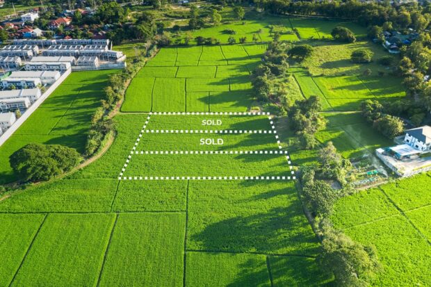
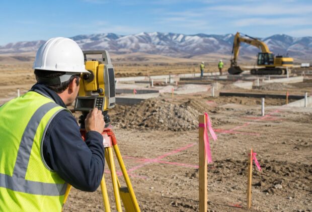
Land surveying is an indispensable aspect of property ownership, real estate development, and municipal planning. In Nampa, ID, where the blend of urban growth and agricultural heritage creates unique property challenges, land surveying plays a critical role. From ensuring accurate property boundaries to maintaining legal compliance, the significance of land surveying cannot be overstated. This […]
Read MoreLand Surveying
How Technology is Revolutionizing Land Surveying in Nampa, ID: From Drones to GPS
Land surveying is a critical component of urban development, real estate, and infrastructure projects. In Nampa, ID, a city experiencing rapid growth, advancements in technology have drastically transformed how surveyors operate. From drones to GPS, these innovations have made the process faster, more accurate, and cost-effective. This blog explores how technology is revolutionizing land surveying […]
Read MoreCommon Challenges in Land Surveying Projects in Nampa, ID: Exploring the Obstacles Faced by Surveyors in This Region and How They Overcome Them
Land surveying is a critical component in construction, real estate, and infrastructure development, providing the foundational data necessary for successful project execution. However, like many regions, Nampa, ID presents its own unique set of challenges for surveyors. Understanding these obstacles and the strategies professionals use to overcome them is essential for anyone involved in land […]
Read MoreCommon Land Surveying Mistakes to Avoid in Nampa, ID
Land surveying is a crucial part of any construction, development, or real estate project. In Nampa, ID, proper land surveying ensures that property boundaries are clearly defined and that any potential disputes are minimized. However, like any technical process, land surveying can be prone to errors, which can lead to costly consequences for property owners, […]
Read MoreHow to Interpret Topographic Survey Data for Better Decision Making
Topographic surveys are essential tools for understanding the physical characteristics of a piece of land. Whether you’re a land developer, architect, or urban planner, interpreting topographic survey data is critical for making informed decisions regarding construction, land use, or environmental management. By mastering the interpretation of this data, you can gain deeper insights into the […]
Read More